With MODIS Aqua L1 hdf file download from the Oceancolor website (MYD01.A20*.hdf), I ran GEO and L1A/B processing, using `/run/scripts/modis_GEO.py`, `/run/scripts/modis_L1A_extract.py`, `/run/scripts/modis_L1B.py` in the SEADAS software.But I notice in the created L1B data, some images have correct coordinates, some not. All of them have the same projection description as 'WGS84(DD)', see here:
[URL://drive.google.com/file/d/1QsEof76Co0fZiB9hWnELG79rB5ekCigT/view?usp=sharing ]. The correct image projection for some days (A2017264.1845.061.2018163172118): [URL: //drive.google.com/file/d/1X2SifjxxM39F8bZHz5QT7Ebn0pVlErYP/view?usp=sharing ]the incorrect image projection for some other day, with the same projection description (A2017265.1925.061.2018163172254): [URL: //drive.google.com/file/d/1Y3cV9fNbgZ3iw3SEeFvD5D4KfjonW90k/view?usp=sharing ] What I did wrong?
How to configure the coordinates/projection of MODIS L1B data?
-
eccc_modis
- Posts: 9
- Joined: Wed Aug 01, 2018 2:16 pm America/New_York
-
OB.DAAC - SeanBailey
- User Services

- Posts: 1468
- Joined: Wed Sep 18, 2019 6:15 pm America/New_York
- Been thanked: 5 times
How to configure the coordinates/projection of MODIS L1B data?
Nothing. The data are not projected. WGS84 is the datum, the "DD" refers to decimal degrees. Both are true for these data.
The first scene was in an orbit that hit the middle of the lake in the middle of the swath. The second hit the lake on the edge of
the swath (which is why it looks squished).
Sean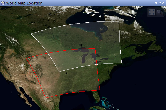
The first scene was in an orbit that hit the middle of the lake in the middle of the swath. The second hit the lake on the edge of
the swath (which is why it looks squished).
Sean