Page 1 of 1
ASDC Tools and Services
Posted: Fri Feb 11, 2022 12:35 pm America/New_York
by ASDC - cheyenne.e.land
This page provides links to access tools and services that the ASDC offers for data downloading, reformatting, and visualization. These applications include:
| Data Downloading Tool |
Description |
Projects Available |
Format |
| Direct Data Download |
Provides the ability to access and download all publicly available data collections via https. |
Various |
hdf, netCDF |
| Earthdata Search |
Browse and access NASA earth science data. |
Various |
hdf, netCDF |
| OPeNDAP |
Provides platform independent services for all available ASDC products. |
Various |
hdf, netCDF, ASCII, binary |
| LANCE NRT |
Land, Atmosphere Near real-time Capability for EOS (LANCE) makes data available within three hours of satellite observation |
MISR,, MOPITT |
hdf |
Subsetting
The
ASDC Subsetters provides the user with three subsetting options that can be used individually or in combination with one another. This includes parameter groupings, temporal (date and time) and geospatial.
| Subset Tool |
Description |
Project Documentation |
Format |
| ASDC CALIPSO Subsetter |
Provides search and subset capabilities for CALIPSO Level 1, and Level 2 Lidar data. Search and subset by date, time, parameter and geolocation. |
CALIPSO Data Product Descriptions CALIPSO Data Quality Summaries |
hdf |
| ASDC CERES Subsetter |
Provides search and subset capabilities for CERES Level 2 SSF and FLASHFlux data. Search and subset by date, time, parameter, and geolocation. |
CERES Data Quality Summaries CERES Data Products Catalog |
hdf, netCDF |
| CERES Subset/Visualization Tool |
Provides the ability to subset, visually browse, and download CERES Level 3 and select Level 2 data products. |
|
netCDF |
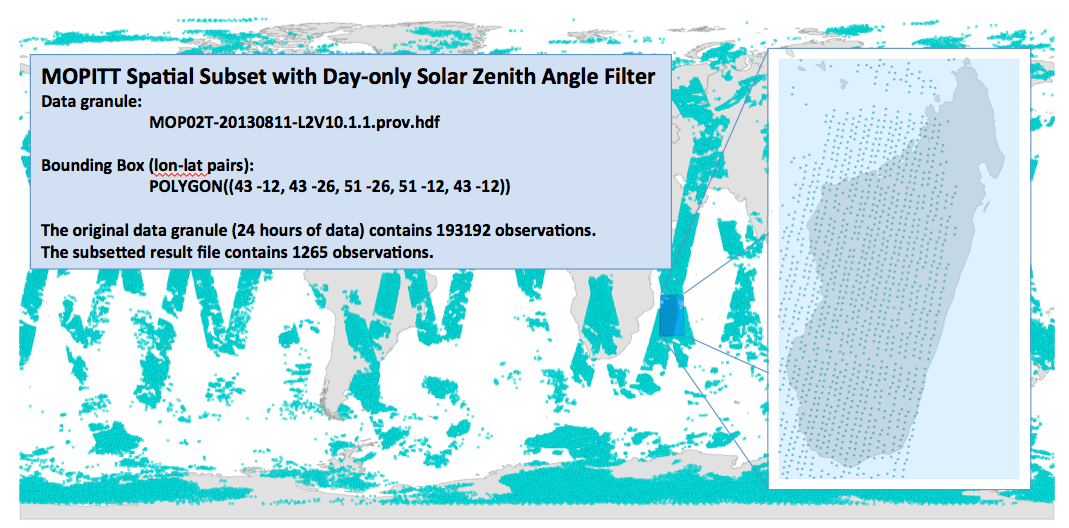
| ASDC MOPITT Subsetter |
Provides search and subset capabilities for MOPITT Level 2 data. Search and subset by date, time, parameter, and geolocation. |
MOPITT User Guides |
hdf, netCDF |
| ASDC TES Subsetter |
Provides search and subset capabilities for TES Level 2 Nadir data. Search and subset by date, time, parameter and geolocation |
TES User Guides |
hdf, netCDF |
| MISR Order and Customization Tool |
Provides users with ability to select and order MISR data by date, time, and geolocation. Reformatter code provided by JPL and is complied at the ASDC.
|
MISR Data Product Specifications |
hdf |
| Data Visualization |
Description |
Format |
| NASA LaRC ASDC Portal for ArcGIS |
Provides visualization for data of various ASDC products, as well as publicly available applications and services. These applications include StoryMap, Dashboards, Dashboards Classics, Experience Builder, Field Maps, Map Viewer, Map Viewer Classic, Quick Capture, Sites, and Workforce. |
- Shapefile (ZIP archive containing all shapefiles)
- CSV or TXT files with optional address, place or coordinate locations (comma, semi-colon or tab delimited
- GPX (GPS Exchange Format)
- GeoJSON (open standard format for simple geographical features)
- https URL
|
| GIBS/Worldview |
Provides quick access to satellite imagery for CALIPSO, MISR, and MOPITT products that cover every part of the world. |
png |
| MOPITT Visualization |
Provides visualization for MOPITT CO products at 1 degree horizontal resolution. |
png |
| Panoply |
Software that allows you to plot and visualize HDF and netCDF datasets. |
hdf, netCDF |
| HDFView |
Software that allows you to plot and visualize HDF4 and HDF5 datasets. |
hdf |
| VOCAL |
NASA’s Visualization of CALIPSO is a software tool designed for the CALIPSO satellite that allows the user to open and visualize CALIPSO data. |
|
Re: ASDC Tools and Services
Posted: Tue Mar 15, 2022 4:07 am America/New_York
by larsonreever
Thanks for the list of tools these will be really helpful in my research thesis
Thanks\
Larsonreever
Northern Touch
Toronto Canada